WHAT YOU'LL SEE WHEN YOU VISIT
Brochures and maps of the site can be found in a kiosk in the parking lot. Also in the parking area is a marker designating the Oregon Trail Memorial Garden. This is the site of future specimen plantings of indigenous flora and will be dedicated to the memory of trail historian, Gregory M. Franzwa.
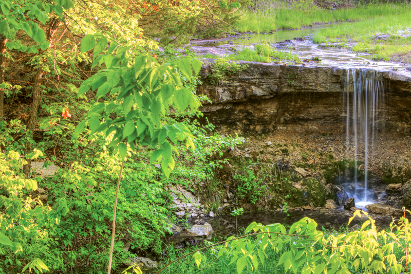
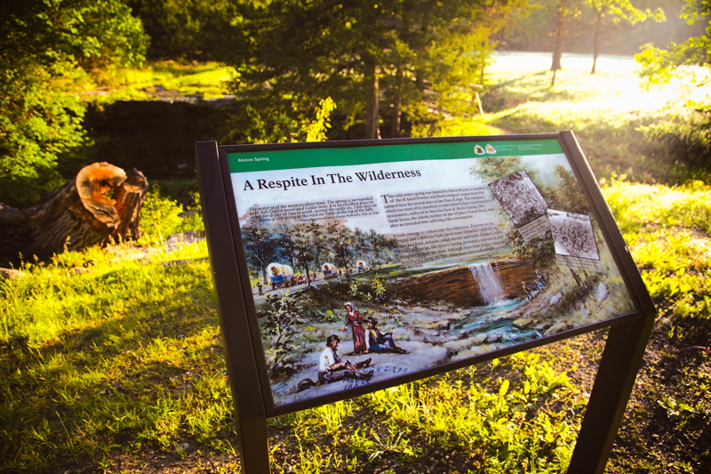
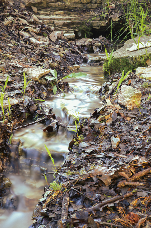
Walking down the trail, the visitor crosses a stone ledge that in the spring forms a beautiful waterfall. Across the foot bridge is a National Park Service wayside exhibit describing the site and indicating historic carvings in the stone ledge and below the waterfall. Emerging from the stone ledge below the foot bridge is the spring from which its name is derived.
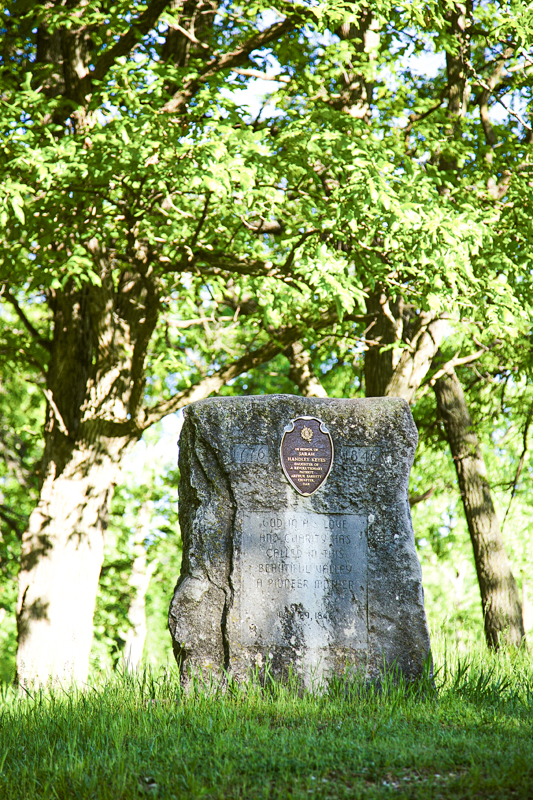
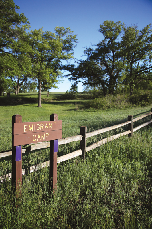
Across the road from the parking area is a marker placed by the DAR in 1950 commemorating Sarah H. Keyes, of the Donner-Reed party, who is buried in the park. Behind the marker, the trail leads across a set of wagon swales (remnants of the wagon trails) to more descriptive signs. The meadow was a campground for the emigrants and has many wagon swales traveling from north to south that led to Independence Crossing, where the wagons crossed the Big Blue River.
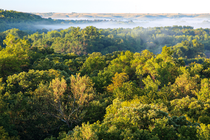
Self-guided tour maps and new signs will be available later in 2010, mapping the nearly five miles of trail that connect the historic aspects of this 223-acre park. Many types of terrain are visible, since Alcove Spring is at the uppermost edge of the flint hills, near the southern reaches of the glaciers and was along the great inland ocean.
OWNERSHIP
A National Register of Historic Places property, it is owned by the Alcove Spring Historical Trust of Blue Rapids and operated by the Alcove Spring Preservation Association. In 2006, Alcove Spring was named a "Certified Historic Site" by the National Park Service.
Directions: From Blue Rapids, two miles north on U.S. 77, then at the sign go 6 miles west on a gravel road.