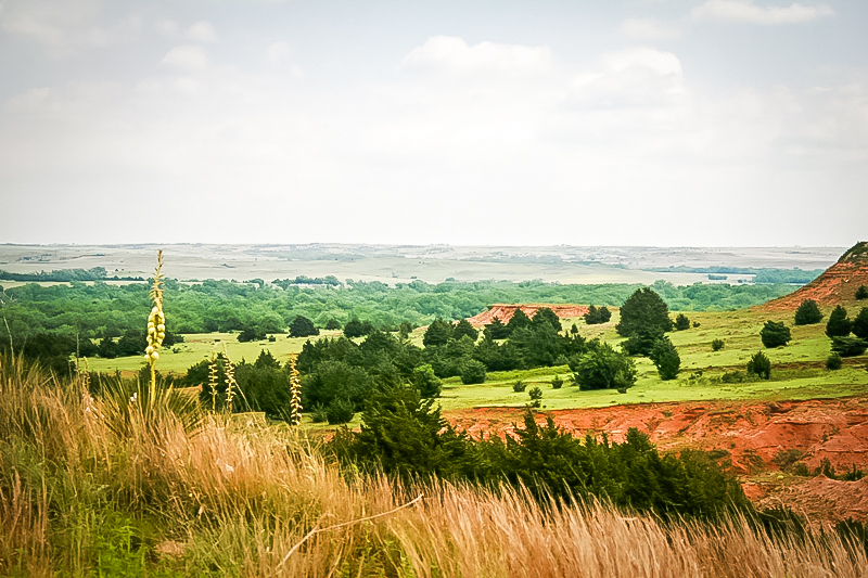
Gyp Hills Scenic Drive and the Gypsum Hills Scenic Byway are one of the 8 Wonders of Kansas Geography because of the
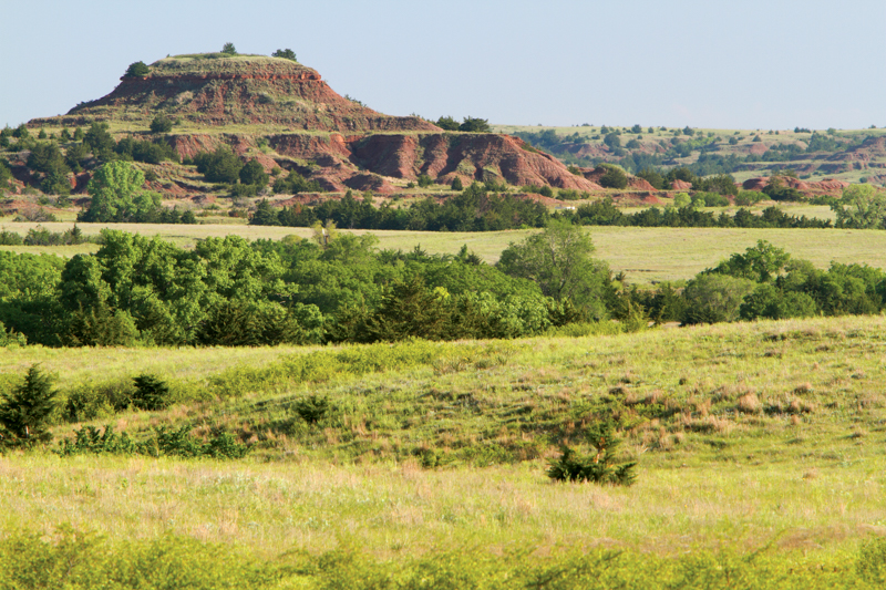
stunning rust-red buttes and mesa capped by layers of sparkling white
gypsum.
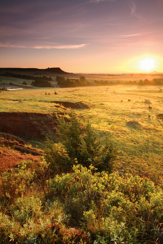
HOW THE GYPSUM (RED) HILLS WERE FORMED The Red Hills of south-central Kansas are one of the most surprising
landscapes in Kansas. The rocks were deposited during the Permian
Period of geologic history, about 250 million years ago. During that
time a large, shallow bay covered much of this area. When that bay was
cut off from the ocean and the water evaporated, the rocks (called
evaporates) left behind included salt and gypsum. Most
evaporites are easily dissolved in water, and thus erosion sculpted
these hills into the shapes you see today.
Many
of the soil and rocks are stained red by iron oxide, thus giving the name Red
Hills to the area. Sandstone and shale, in particular, are bright red. Gypsum,
a white rock, is found in layers within those red beds. One type of gypsum,
selenite, forms large diamond-shaped crystals that are common in the area and
litter road cuts and ditches like broken glass.
Many pastures have been taken over by red cedars, the only juniper native to the state.
GYP HILLS SCENIC DRIVE
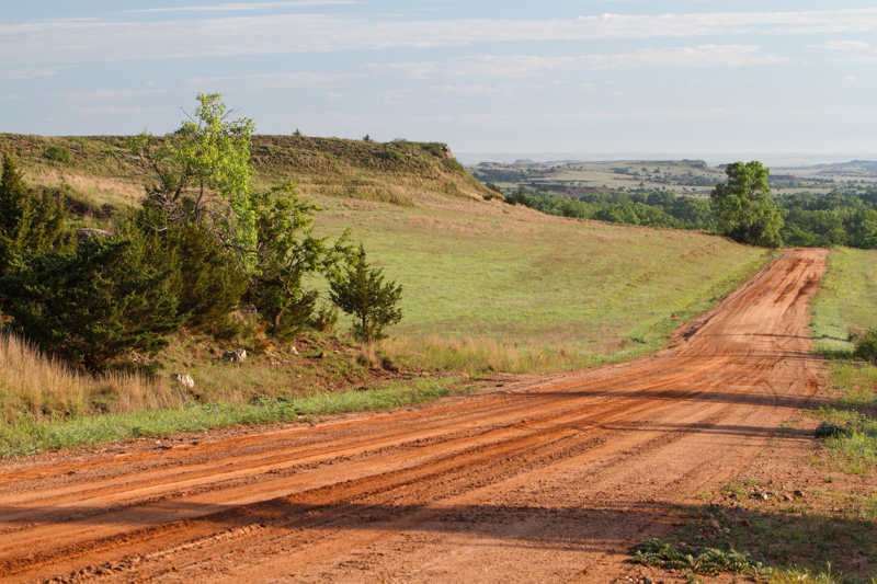
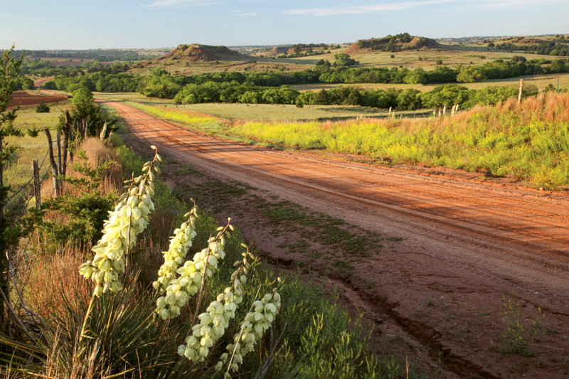
Much of this 22-mile route is through open range (past Angell place and into the Elsea Ranch as you near U.S. 160 and the Lake City Road) meaning there are
often no fences to keep cattle off the road. It's a public road but
you'll cross
cattle guards and it's the responsibility of the traveler to avoid
hitting livestock. Also, travelers should make sure to follow the
public road and not meander off onto pasture driveways. At times there
are few signs of civilization. Wildlife, native grasses, wildflowers, birds, and
cattle dominate the landscape against the Red Hills.
It's confusing but the Gyp Hills Scenic Drive and the Gypsum Hills
Scenic Byway are two different routes. See below for information about the Byway.
Where to start the Gyp Hill scenic drive: About 4 miles west of Medicine Lodge on U.S. 160, you'll find a sign
that says Gyp Hills Scenic Drive. Head south on Gypsum Hill Road, then
west. Watch for small green signs, and follow them. Much of the route
is unpaved. At about 22 miles, the route will bring you back up to
U.S.
160 at the Lake City Road (going north).
If you'd rather not travel the backroads, choose to see the marvelous
Red Hill scenery by driving the Gypsum Hills Scenic Byway.
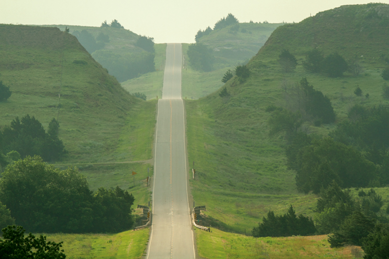
The Gypsum Hills Scenic Byway is approximately
42 miles in length and extends from the western city limits of Medicine
Lodge to the junction of U.S. 160 and U.S. 183 at Coldwater. It bisects
the beautiful Gypsum Hills.
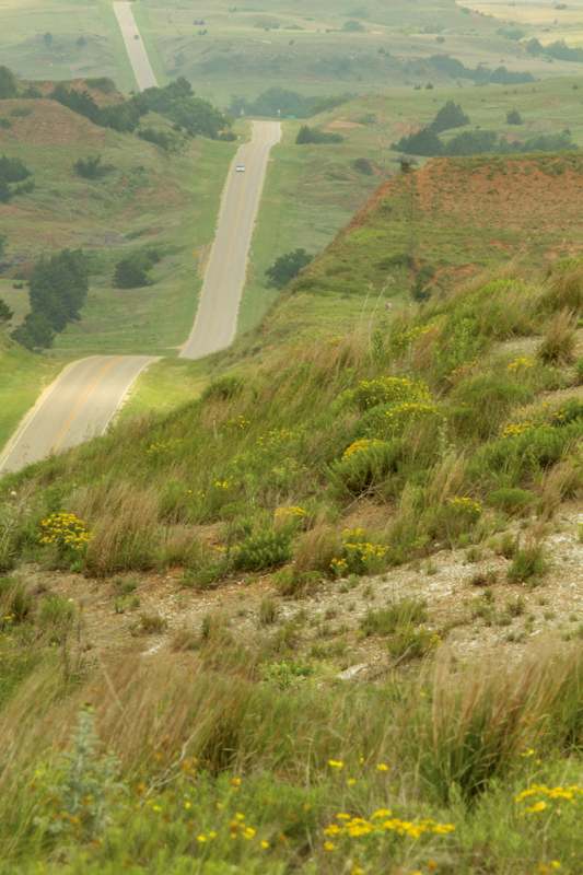
Travelers have the opportunity to see flat mesas, deep canyons, sharp high hills, red soils and caprock formations.
The
Byway provides a unique opportunity to experience the expansive High
Plains and Red Hills physiographic regions. Both topography and
vegetation change between the two regions. From rolling farm land and
midgrass prairie grazing land to the rugged, gypsum-capped flower pot
shale mesas and buttes with minimal vegetation, the Gypsum Hills Scenic
Byway showcases two of Kansas' physiographic regions -- the Red Hills and the High Plains.
The
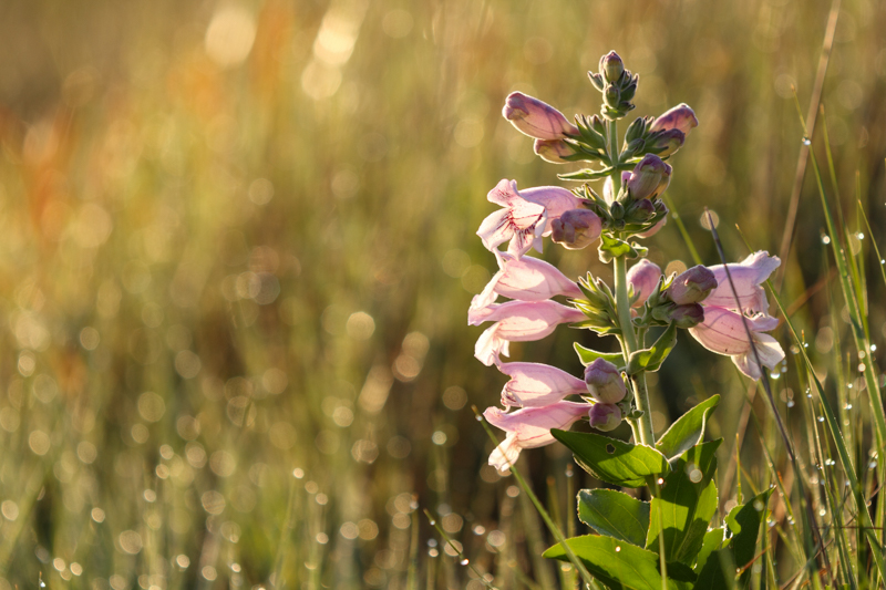
area is noted for its abundance of wildflowers in spring and summer.
Naturally flowing springs, the red soil and green cedar trees provide a
rich array of color. Recreational and historic opportunities complement
the scenic experiences.

 HOW THE GYPSUM (RED) HILLS WERE FORMED
 GYP HILLS SCENIC DRIVE
 GYPSUM HILLS SCENIC BYWAY